

Pico da Antonia National Park
Pico da Antonia National Park
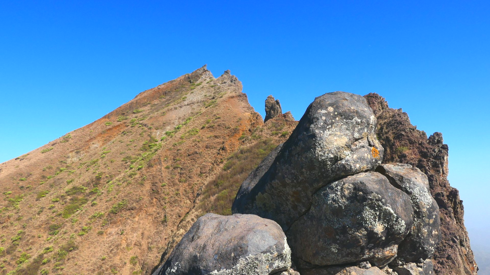
Pico da Antonia, with 1,394 m altitude, is the highest point on the island of Santiago, in the archipelago of Cape Verde.
It is volcanic in origin and is located 5 km southeast of Assomada, 3.5 km south of Picos, 5 km west-southwest of João Teves and 7 km west-northwest of São Domingos in one of the mountain ranges that cross the interior of the island. Further north is the Serra da Malagueta. The mountain serves as the border between the municipalities of São Salvador do Mundo, São Lourenço dos Órgãos and Ribeira Grande de Santiago.
The peak and the surrounding area form the Pico da Antonia National Park.
Top Attractions
Natural Park
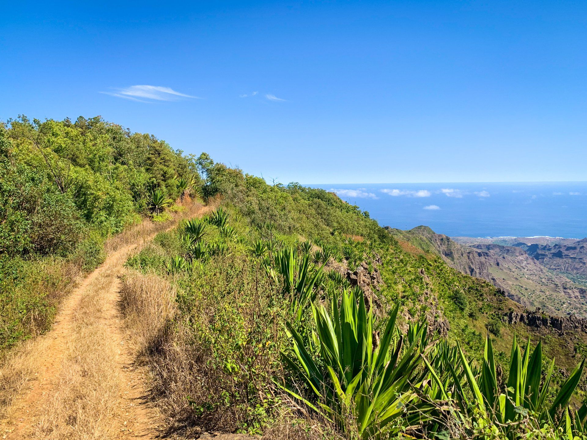
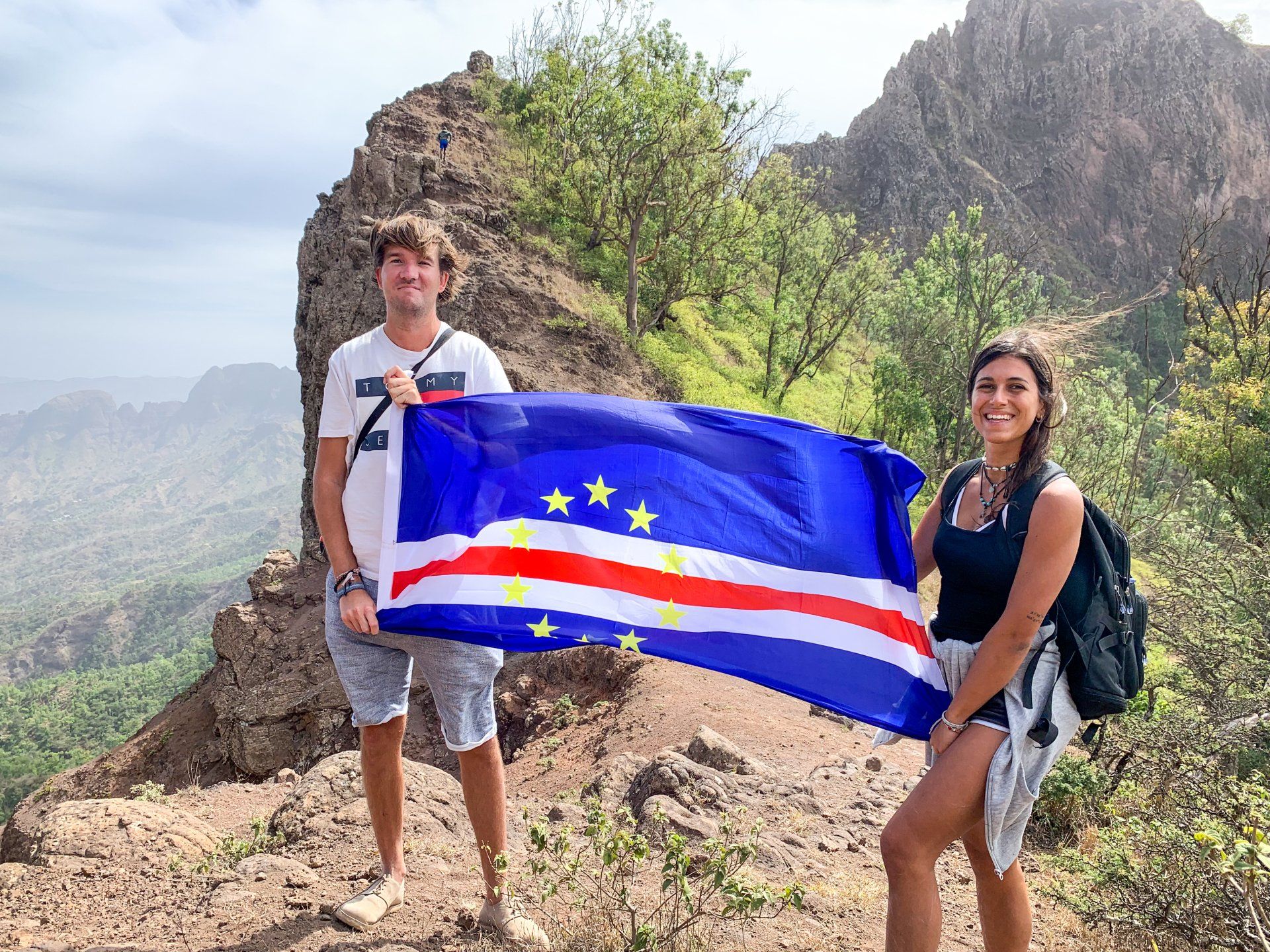
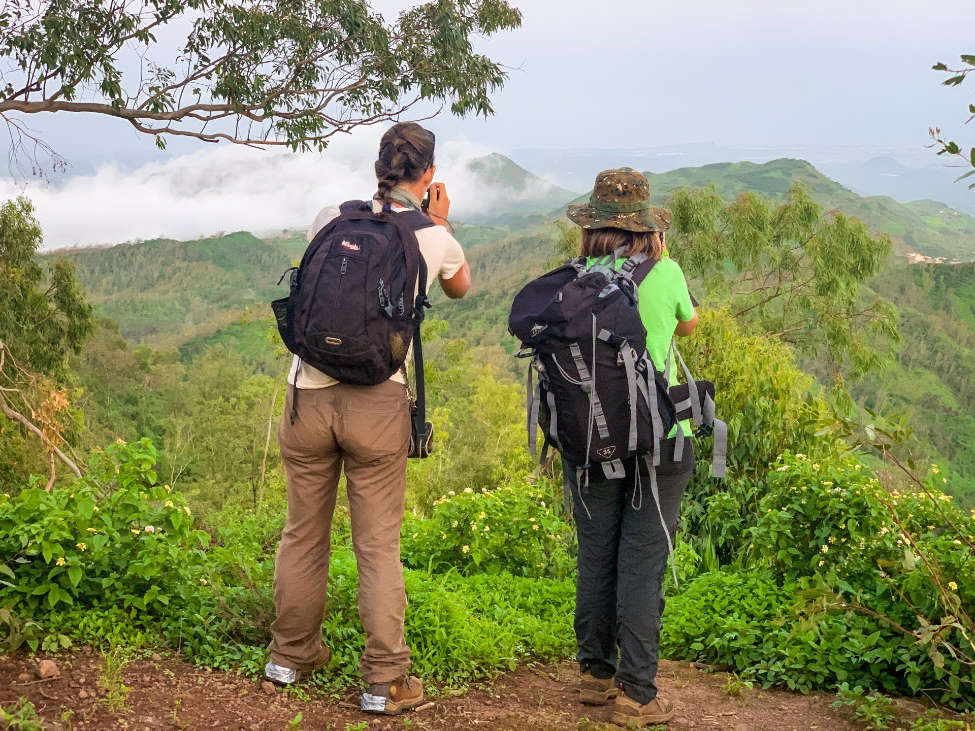
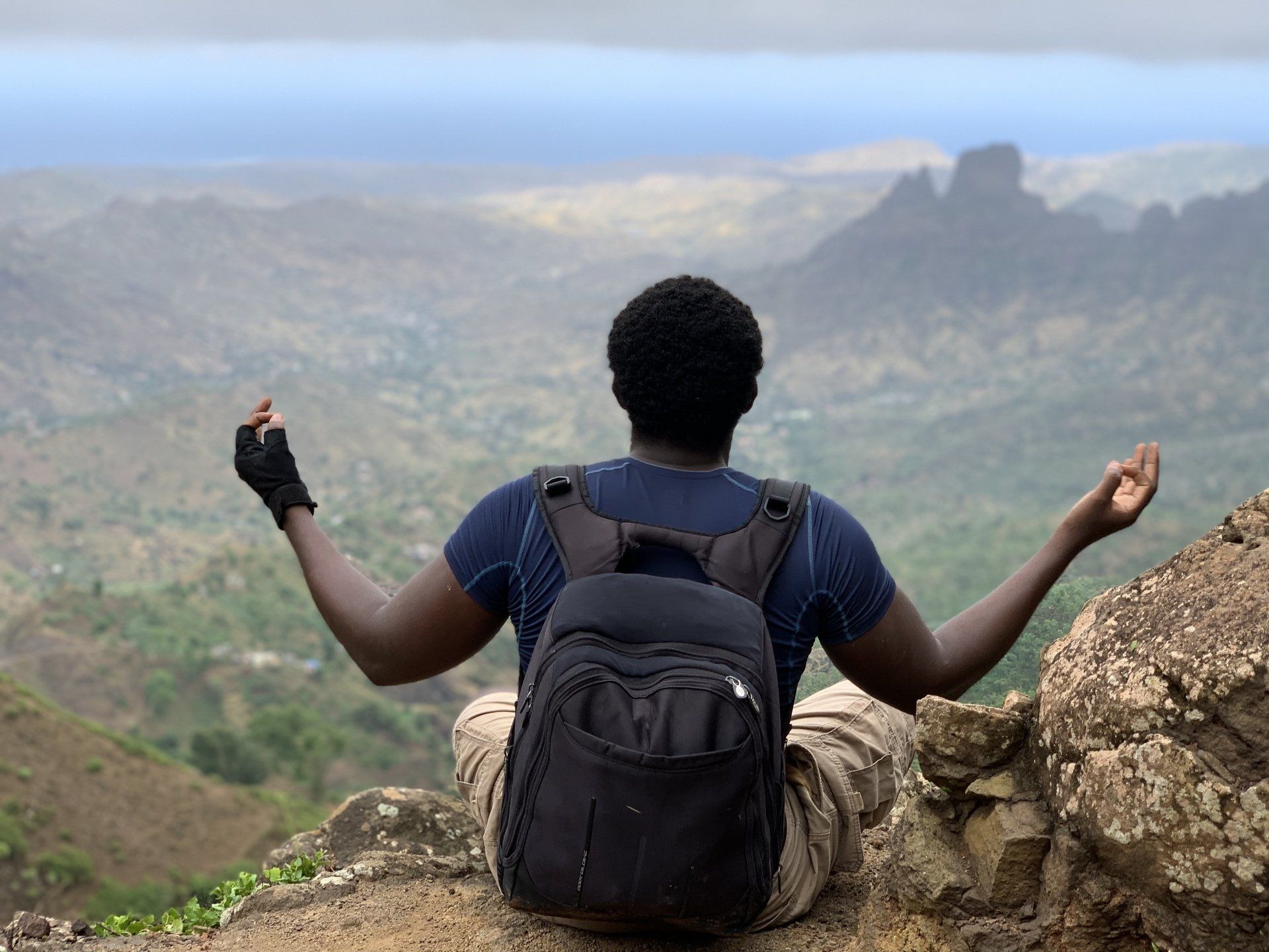
Hike up Pico de Antónia, the island's highest point, then explore the untouched nature of Monte Tchota.
Climb Pico de Antónia, the highest point on the island of Santiago. Delight in panoramic views of the São Jorge Valley and the possibility to see Maio Island and the volcano on Fogo Island.
Altogether, the trek involves 5 hours uphill, with spectacular views of beautiful landscapes. On the way, look out for endemic plants, animals, and endangered birds.
Top ways to experience Pico de Antonia and nearby attractions
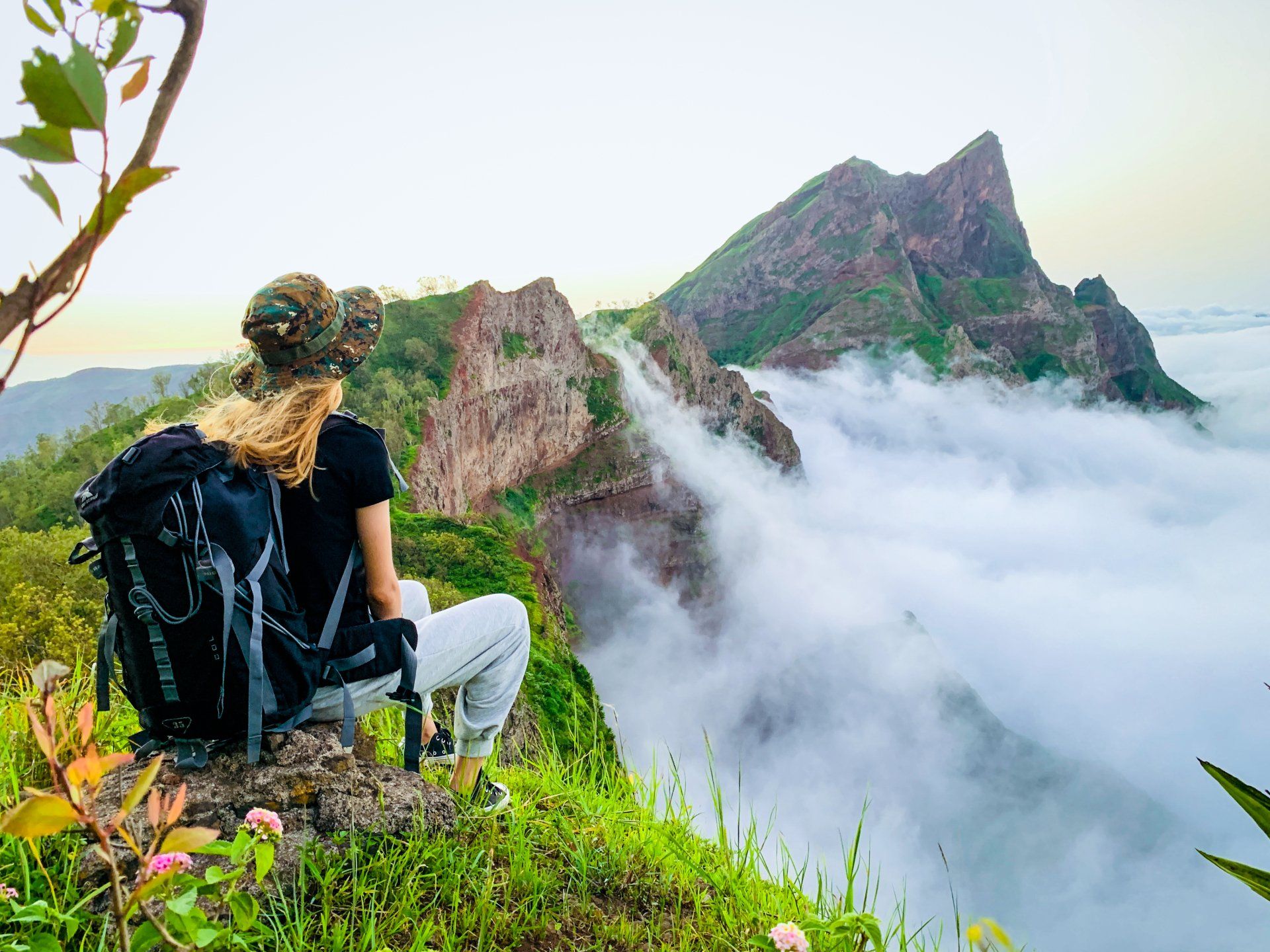

Photo Gallery
Location
Location